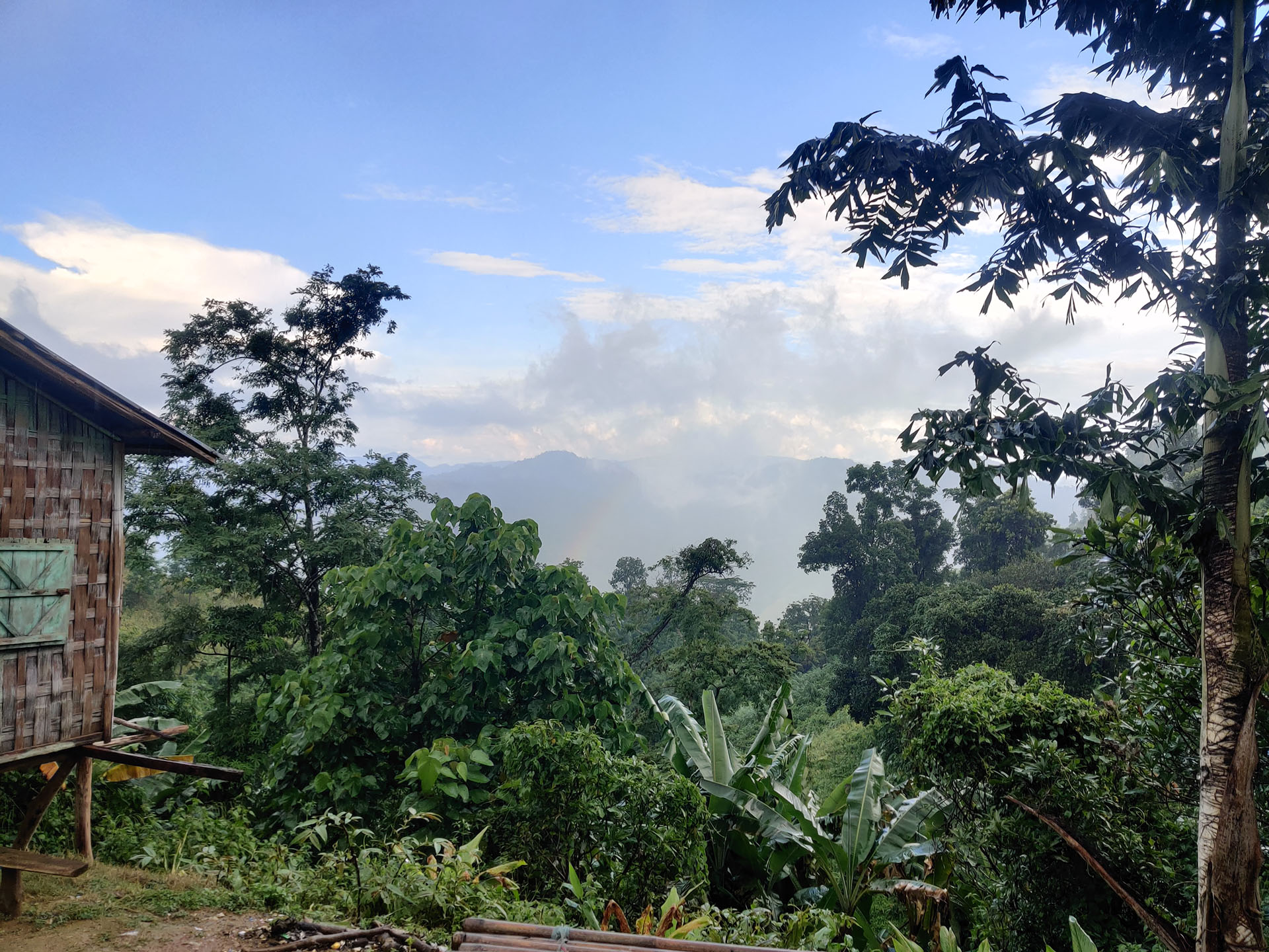
This is the third part of a series of articles about the author’s trip to Keokradong.
Read Part I here.
Read Part II here.
We woke up the next day at 8:30 AM and had breakfast. Today is the day we trek Keokradong!
We outsourced our luggage into tiny lumps that contained only the necessities. We did this because we were about to go trekking Keokradong and this was going to be a long day. We were minimizing as much weight as was possible. We left the remaining of our possessions at Boga Lake, where the locals took care of our stuff. Then we went to the local shops to buy bamboo sticks. These were meant to support us and to provide us with an extra leg for climbing. We then took our possessions, and our guide led us to that bridge we explored the previous day. We were already tired, hence, scared.
We kept fighting our way upwards. While doing so, we met many of the tourists climbing down from the top. We spoke with them. They were of different ages and sexes. All of them remarked that the journey is about holding on to your wits. As long as you believe in yourself, you are sure to complete your journey. That is what we did. We held our heads low and kept climbing.
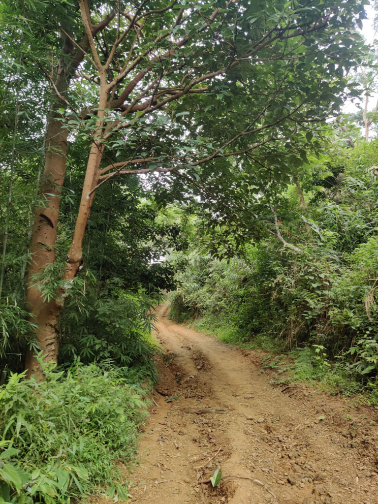
Our first impressions were positive. The roads of Keokradong might be longer, but they are also wider than those of NafaKhum. There was ample space for people to be walking on either side of the road. Furthermore, the roads seem to have once been paved. The cobbled roads got damaged due to the constant rain. At small distances, there are shelters that the locals built for the travelers. The shelters contain lemonades and long benches made of bamboo. They’re also usually atop plane lands overseeing a vast area of scenery. Some of them have locals selling bananas or guavas.
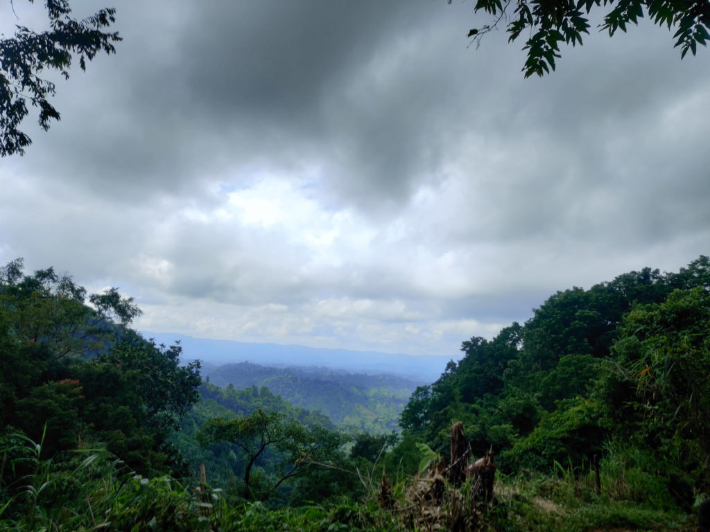
By the time we had reached our first shelter, we were already drained. We sat down and waited for the rest of our party to catch up. Twenty minutes. We started again. After our second stoppage, we noticed the road only going downwards. A little further down, we could hear the regurgitation of a waterfall. Our guide told us that we had been nearing the Chingri falls. The sound energized us. In its path, we found multiple clear water streams, and in each stream, we soaked our feet for luck.
It’s impossible not to know when you are already at Chingri. The road keeps going down until you reach a hanging bridge made solely of bamboo and hay.
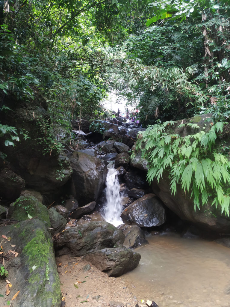
You’ll see a few Paharis carrying baskets filled with heavy goods treading effortlessly along these paths. The waterfalls grew more and more beautiful as we climbed up the rocks guarding it. Other travelers had already been waiting here before us. We climbed until we had reached the actual waterfall. Water had been gushing from the clouds thrust upon tall rocks whose tips were not visible. People mainly had been chilling and clicking photos. We clicked a few pictures ourselves and then waited for the rest of the party to arrive.
We could see one other section of the waterfall further upwards. Chingri was crowded, but that part did not have any tourists. This was probably because the road to that part was rockier than this one. We decided to climb it anyway, and we did. We heard only the gushing of cool and clear water from the top of the clouds from up there. The water felt like ice. It was also clear. We stayed there for some time, clicked a few photos, refilled our water bottles, and then got back down.
The people of Bandarban talk about three slopes when talking about Keokradong. These three are the longest and the steepest of slopes, and there is no means of dodging them.
We knew that we had been nearing the first one, and therefore we were careful to rest as much as possible in the current shelter. When we started walking, we noticed the road getting steeper. We slanted our bodies accordingly, but the steep only grew. We realized that we had reached the first slope. We lost our breaths multiple times. We had to take numerous pauses. In the end, we emerged victorious.
Right at the end of the steep was another shelter. We sat down. As we gulped down on some lemonade served to us in glasses serviced out of thick bamboo sticks, we felt pretty good about ourselves.
From there, it is a long way till the second slope. The road is steep at places and plane at places. The roads are, however, wide. It is recommended to stop and rest as many times as possible. At various locations, there is no foliage along the hillside. You can stand on the opening and look away over the horizon. Interestingly, the horizon and you would be on the same level.
The hills are filled with insects, mainly leeches and earthworms. We had to be careful where we were stepping.
We had already been at the second slope. This slope was the longest one. As we set to conquer it, we clenched our fists. I stood still to rest every five minutes because I kept running out of fuel. It took us a long time to pass this one. As we emerged from the other side, we were flushed, but we also felt accomplished.
The rest of the road was nothing noteworthy. We walked. We waited. We stared at the scenery.
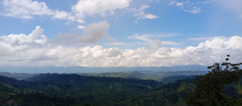
We were soon at the last slope. And like the others, we conquered it too. We worked hard, and it was worth it. Not too far from the last slope is Darjeeling para. It is a small village in the middle of the hills. In the village are residential huts and tiny shaded shops. We stopped at one and had dry food. The clock was already at 3, and we had not done lunch. The clouds suddenly decided to drizzle. We waited in the hut, spoke to the “didi” running the shop, and relaxed. The air was cool. And the sound of the rain on the thatched roof felt too good to be true.
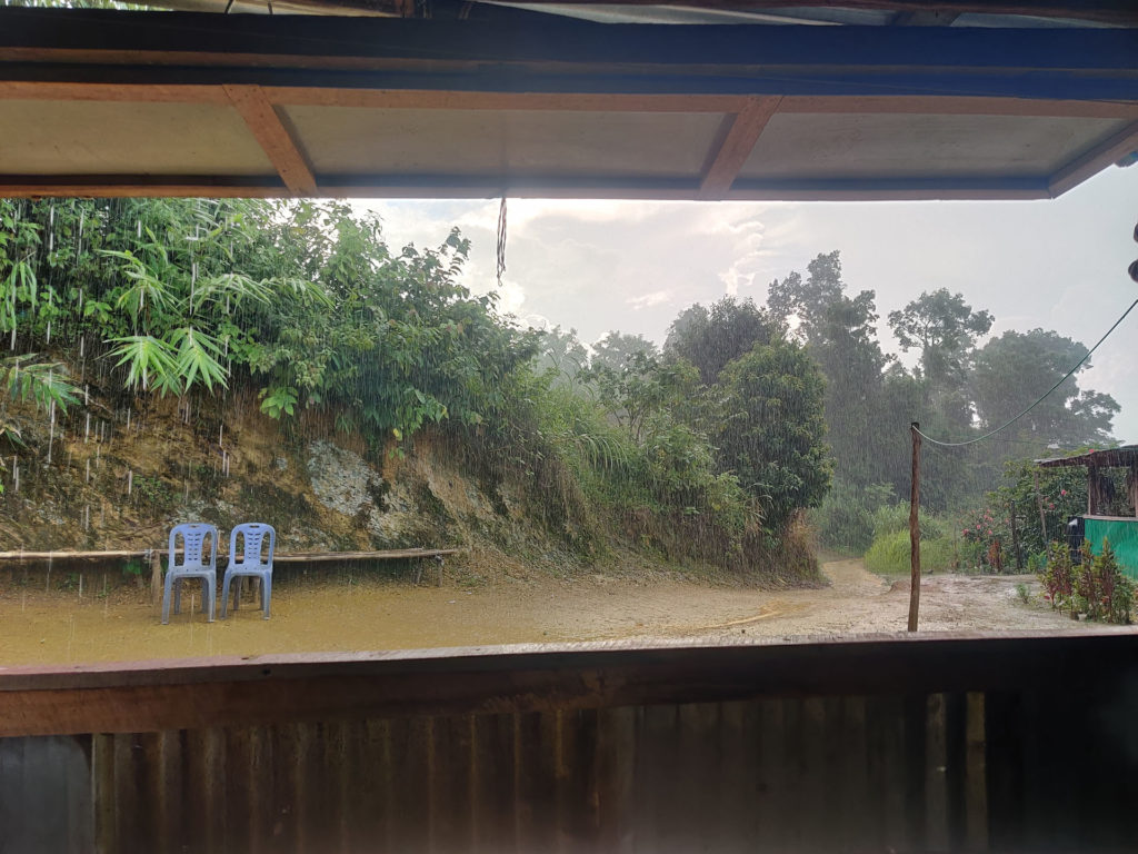
Didi told us that the peak was some 40 minutes away from here. Our experience tells us not to trust Paharis when it comes to distances. The rain had made our road muddy, hence, slippery. We were careful with our footing. The covered sandals were a blessing, as usual. The road was still steep; however, we could already see the cottages on the peek. The thought of our destination nearing gave us a boost.
We reached our destination in two more hours!
To be continued…

